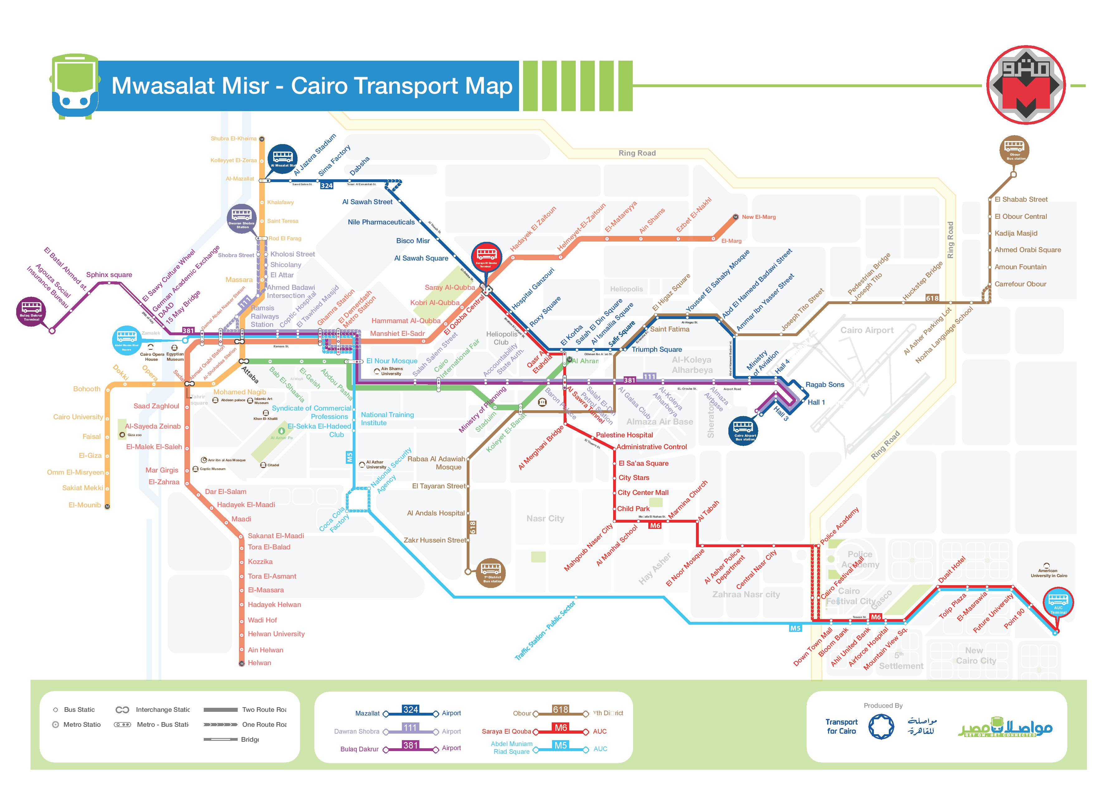
Introducing Cairo's first Public Transportation Map
Introducing Cairo's first Public Transportation Map

Check out the first transit map for the city of 6th of October!
Learn more
Not just another app, it's the map
Explore and download the GIS and GTFS for transit in Cairo.

Transit maps by TfC to increase access to information for the Public on Cairo's public transportation network!

Public transport will influence our mobility patterns, urban shape, social equity and economic performance for the coming decades. This policy paper - prepared by Transport for Cairo and Takween Integrated Community Development - outlines how mapping public transportation can achieve adequate urban mobility and achieve lasting sustainable development.
Learn more
“Transit Data” will not change our transport experience until we learn how to visualize it and tell the story of urban mobility in Cairo.
Learn more
The story of mapping the transit network of Addis Ababa, Ethiopia. A successful replication of Digital Cairo.
Learn more
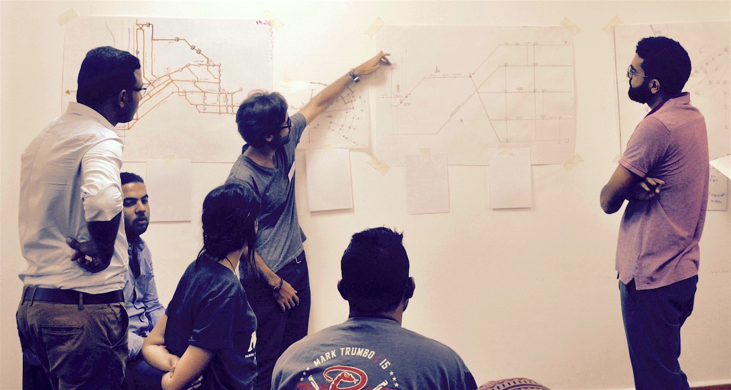
How a team of Students designed Cairo's first experimental Transit Map
Learn more
TfC is hiring. Join our growing and amazing team, and be part of changing how Cairo moves.
Learn more